Executive Summary
Clear Seas is undertaking a mapping project to illustrate the state of marine shipping in Canada and enable communities to express their concerns about the risks relating to shipping. Through this initiative, Indigenous and coastal communities will be able to access and interact with data such as the routes ships take, and vessels involved in marine incidents and accidents. Technical capacity will be provided to aid in carrying out additional, locally-driven, exploration of data, with the purpose to help answer questions specific to each community. By democratizing access to shipping data and technical support, communities will have more resources to support active participation in how their local waters are managed and will be able to better engage in decision-making or advocate for policies.
Data Equity
Access to historical vessel track lines off BC’s coast and other spatial datasets.
Real-Time Analysis
Spatial and statistical analysis to address community-specific questions.
Capacity Building
Support to develop an understanding of marine shipping and its impacts on communities.
Dialogue
Space to develop potential research areas and opportunities for collaboration.
OCAP
Honouring data sovereignty and Indigenous ways of knowing and being.
Funded Workshops
Half-day workshops at no-cost to communities or organizations.
Shipping data at the service of communities
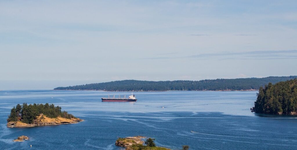
Indigenous and coastal communities are inextricably tied to coastal and marine ecosystems. While shipping benefits all people in Canada, coastal communities bear a higher level of risk from vessels travelling through their local waters. Furthermore, these communities often have a greater awareness of these risks and their potential impacts, but need access to information and technical capacity to engage in decision-making.
While data and research focusing on marine shipping exists, it can be expensive and difficult to access, with information in multiple formats on different platforms. Specialized software and skills are often needed to interpret and analyze the data, and information is presented in a manner not easily accessible to those outside the industry. The specifics of how regulations or risk mitigation measures apply to a given region may not be clear.
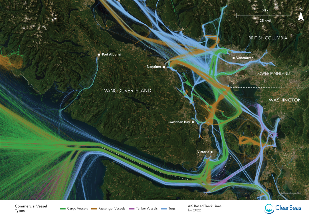
The focus of this Clear Seas’ initiative is to address the gaps and challenges related to access and understanding of shipping data in order to enable Indigenous and coastal community users to explore issues of priority. The mapping project will bring together a unique combination of data and models to illustrate a variety of patterns, events, and impacts associated with commercial shipping and other vessel traffic at a local and regional levels. In the first phase, Clear Seas will be piloting the project with Indigenous organizations on Canada’s Pacific Coast. Technical and analytical support will be provided from Clear Seas’ research team to help navigate the data, explore areas of interest, discuss concerns, and answer questions.
Project applications will include:
- Improved access to data and information that improves understanding of marine shipping and related risks, including management and mitigation measures in place to minimize those risks
- Resources to conduct community-based research that addresses the issues and concerns from a diversity of perspectives
- Technical support for Indigenous and coastal communities interested in working with vessel traffic data to address concerns or explore research questions driven by community priorities
Workshops:
Mapping Marine Traffic (MMT) supports First Nations communities to gain insight into marine shipping by providing technical advice, analytical support, and access to data. Workshops allow for shared investigation of maps and graphs illustrating patterns, risks, and issues associated with marine shipping and vessel traffic. The goal is to facilitate discussions of priority issues and co-create a shared understanding of opportunities to advance marine stewardship.
The Latest
Research Team

Rachel Stewart-Dziama
Research Associate, Clear Seas

Charlene Seward
Indigenous Program Lead, Clear Seas