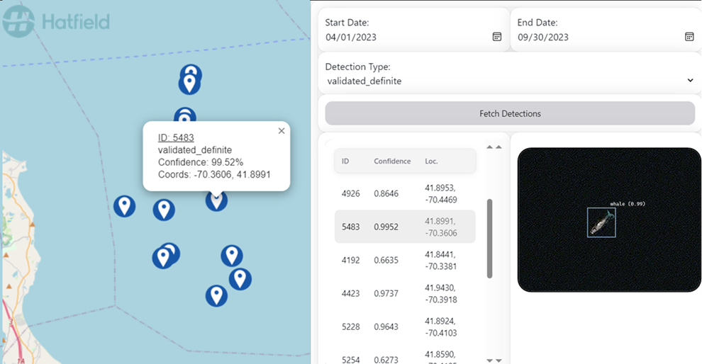
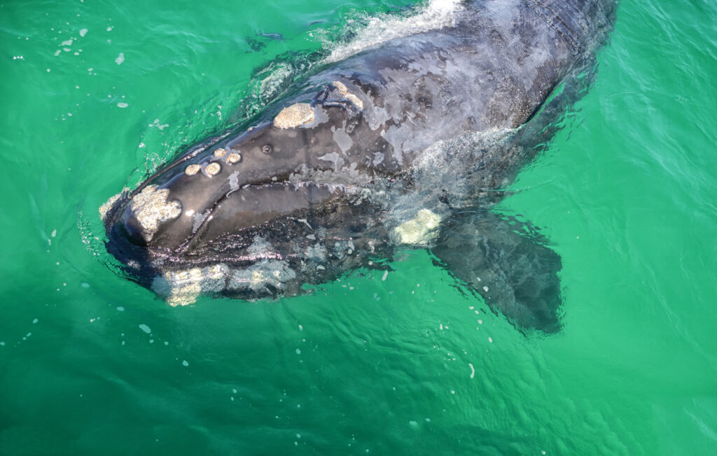
In this webinar, you will learn about the Space-Based Detection System of the smartWhales Initiative, funded by the Canadian Space Agency and the Government of Canada to use satellite data to keep whales safe in Canadian waters.
October 29, 2024
10 AM Pacific | 1 PM Eastern | 2 PM Atlantic
HOLD

Presenter: Anne Webster

With her background in physics and desire to work on challenging problems, Anne Webster began her career in remote sensing back in 2005 developing change detection analytics using aerial and satellite images. Over the years, she has developed approaches to detect hard-to-see objects and classify land cover in scenes captured from optical, multispectral, hyperspectral, and thermal IR sensors. She has led the R&D of several AI-based solutions including classifying ships and detecting floating ocean plastic litter from spaceborne sensors. As part of her role at Hatfield Consultants, she managed the development of the smartWhales Space-Based Detection System (SBDS), a semi-automated tool to assist in tracking and monitoring North Atlantic right whales to support their conservation.


