In this Report, You’ll Learn About
- How the number and location of rescue tugs, mobilization time, travel speed, route, time to establish a tow line, and environmental conditions impact the likelihood of a vessel drifting aground before it can be rescued.
- The research reviewing drift rates of different vessel classes under different environmental conditions.
- How the different routing of various classes of vessel impacts probability of being rescued during a drifting event.
Summary
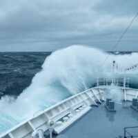
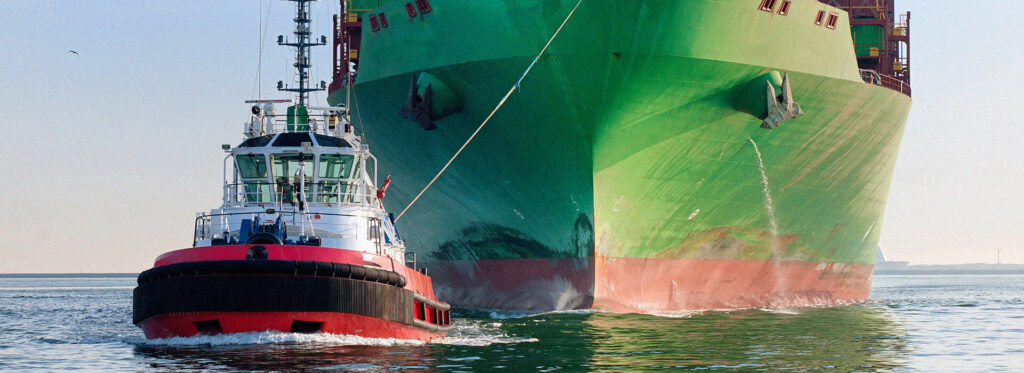
This study examines how ship routing combined with the location and availability of Emergency Tow Vessels (ETVs) or rescue tugs might affect the probability of a disabled vessel drifting aground along Canada’s Pacific coast. Scenario-based vessel drift and response analysis are summarized in the report to assess the effectiveness of different rescue tug locations. The study uses seven scenarios to reflect the locations of current and potential future rescue tugs. Clear Seas and regional representatives of Environment and Climate Change Canada, the Canadian Coast Guard, Transport Canada, and the British Columbia Coast Pilots collaborated to develop the parameters that define the different scenarios.
Each scenario was run through a model to estimate the probability that a rescue tug would arrive in time to assist a disabled vessel. The model incorporates the area’s coastline and historical wind conditions and the time needed for a tug to reach the disabled vessel, which was calculated based on the tug’s starting location, mobilization time, travel speed, route, and time to establish a tow line. The disabled vessel’s drifting time before grounding was calculated based on drift characteristics of given particular vessel sizes and types that commonly transit the area, combined with wind conditions drawn from historical wind data. Like all models, it is a simplified approximation of a complex system. Users must consider the model’s limits when interpreting and applying the results.
This report is one of three studies conducted by Clear Seas as part of the Marine Transportation Corridors project (Vessel Drift and Response Analysis for Canada’s Pacific Coast, Emergency Towing Vessel Needs Assessment, Availability of Tugs of Opportunity in Canada’s Pacific Region). The three studies enhance the understanding of some of the risks and potential prevention strategies associated with shipping activity in the Pacific region.
Table of Contents
Key Takeaway
This report seeks to increase decision-makers’ understanding of the role that ship routing and capable, strategically-located, and promptly-deployed rescue tugs can play in reducing risks associated with shipping traffic in western Canadian waters. The results presented in this report may be applied to risk mitigation decisions, such as the optimal location for rescue tugs or other proactive vessel management measures to reduce the risks associated with drifting vessels along Canada’s Pacific coast.
Research Team
This study was commissioned by Clear Seas and produced by Nuka Research and Planning Group, LLC.
You may also be interested in